The National Hurricane Center

National Hurricane Center Forecast Tracks

Tropical Tidbits Current Storms
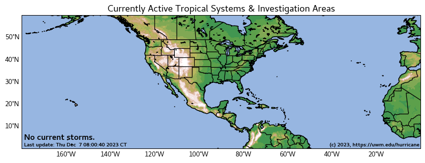
(photo at right not current)

a good source for spaghetti models on invests or later storms

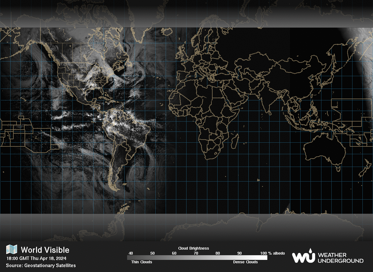
photo at right not current

Hurricane Forecast Model Output Univ of Wisconsin-Milwaukee
Another Source for Hurricane and tropical storm prediction charts. (SFWMD has been somewhat unreliable as of late) Just Click on the Storm symbol, and the track chart will load
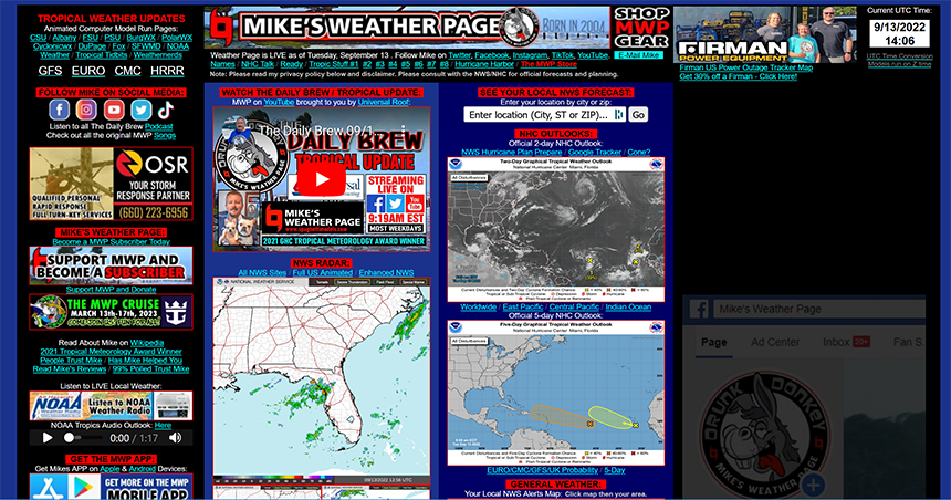
good source for weather info general and tropical.
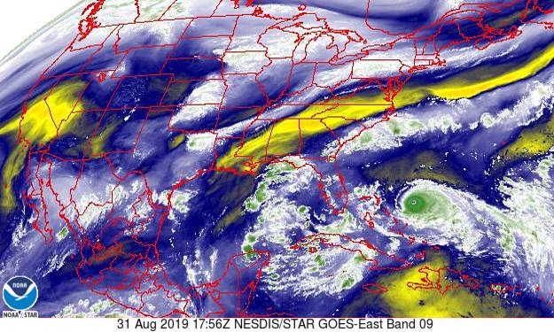
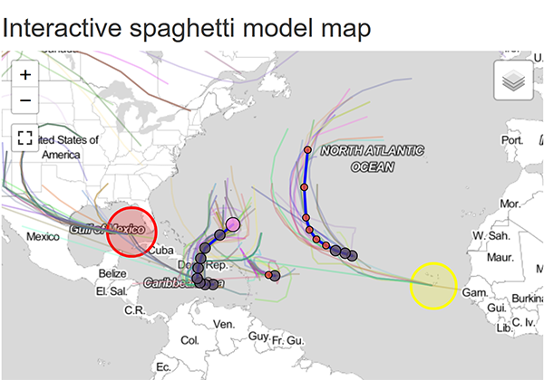
Cyclocan Spaghetti Models(Picture at right is NOT LIVE)
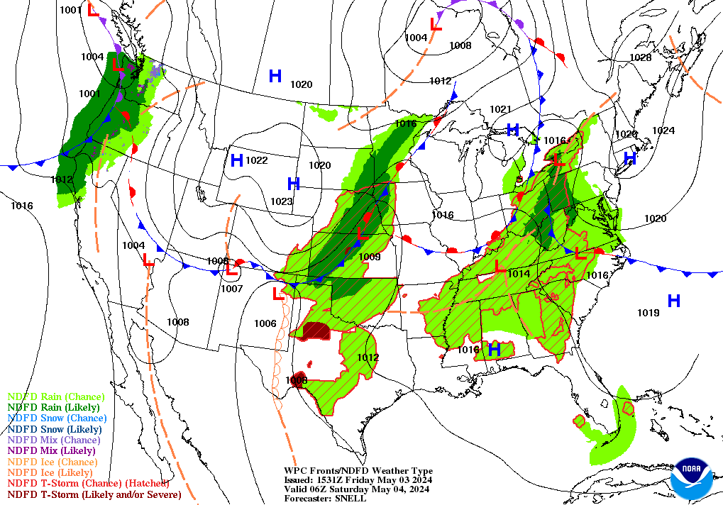
National Weather Service forcast maps.


Islamorada
Delray
Pompano beach
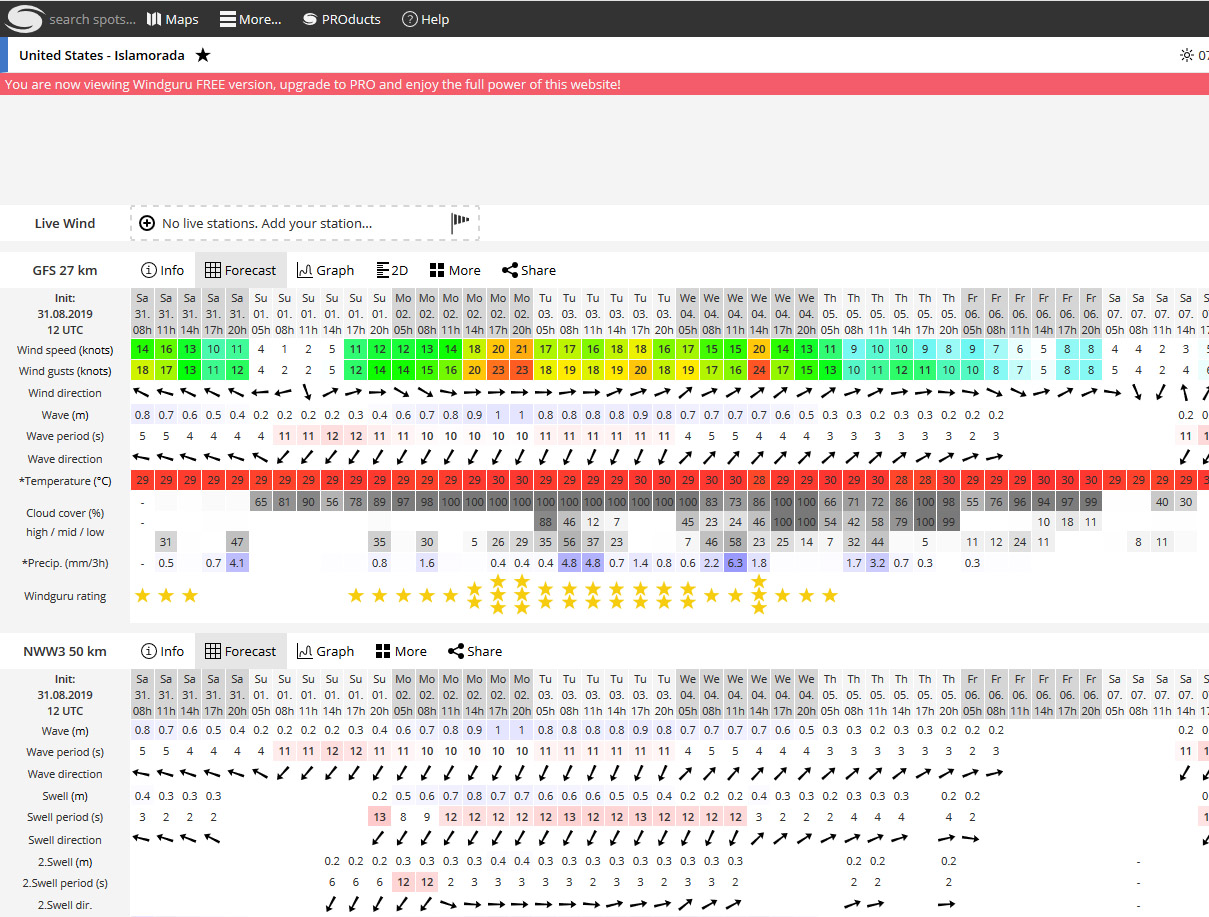
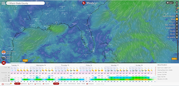
wind estimates and forecast.
Key West Radar/weather


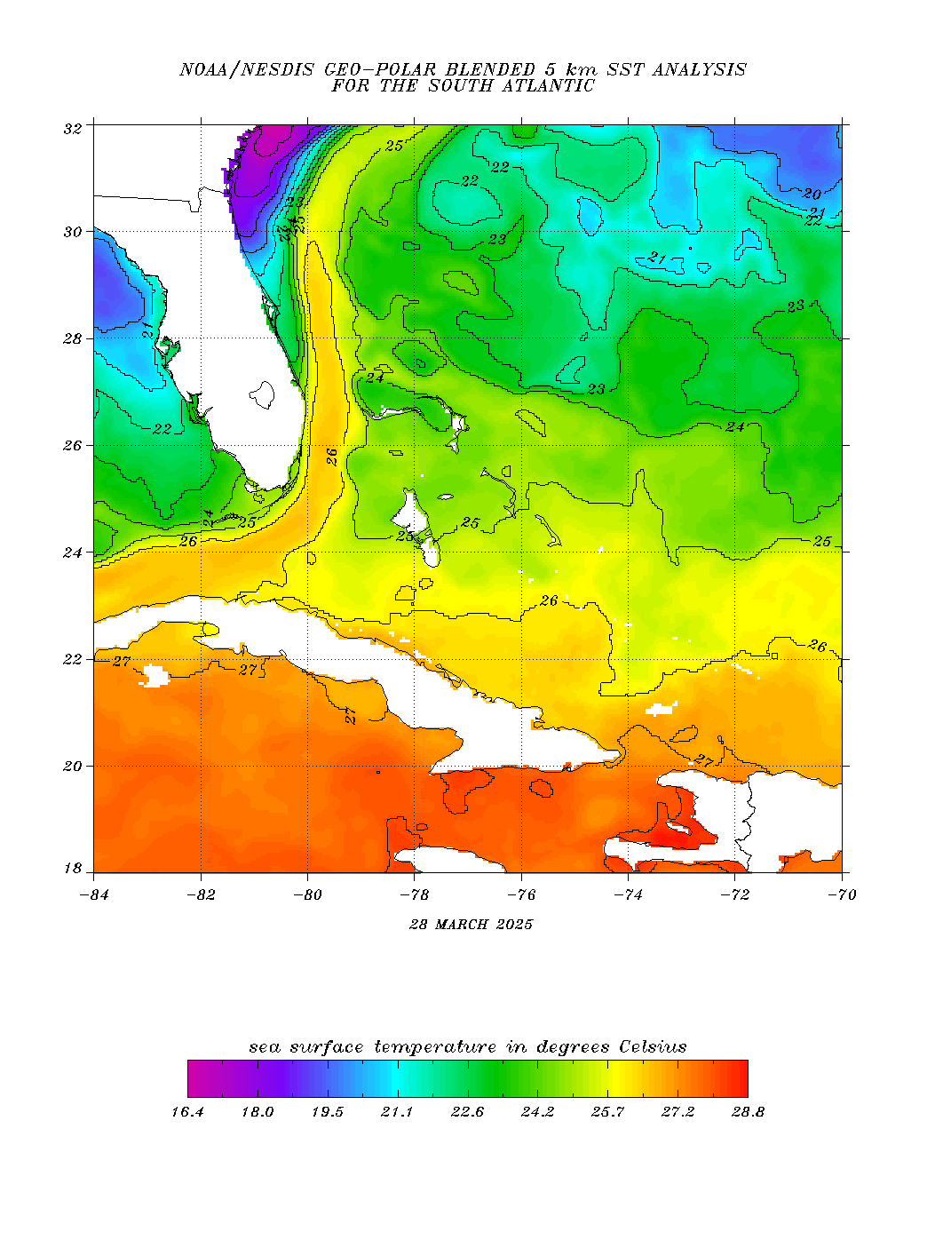
(picture at right is NOT LIVE
(picture not live)